z_Uncategorised
Grab Your Umbrella: A Wet and Wild Summer is Just Getting Started
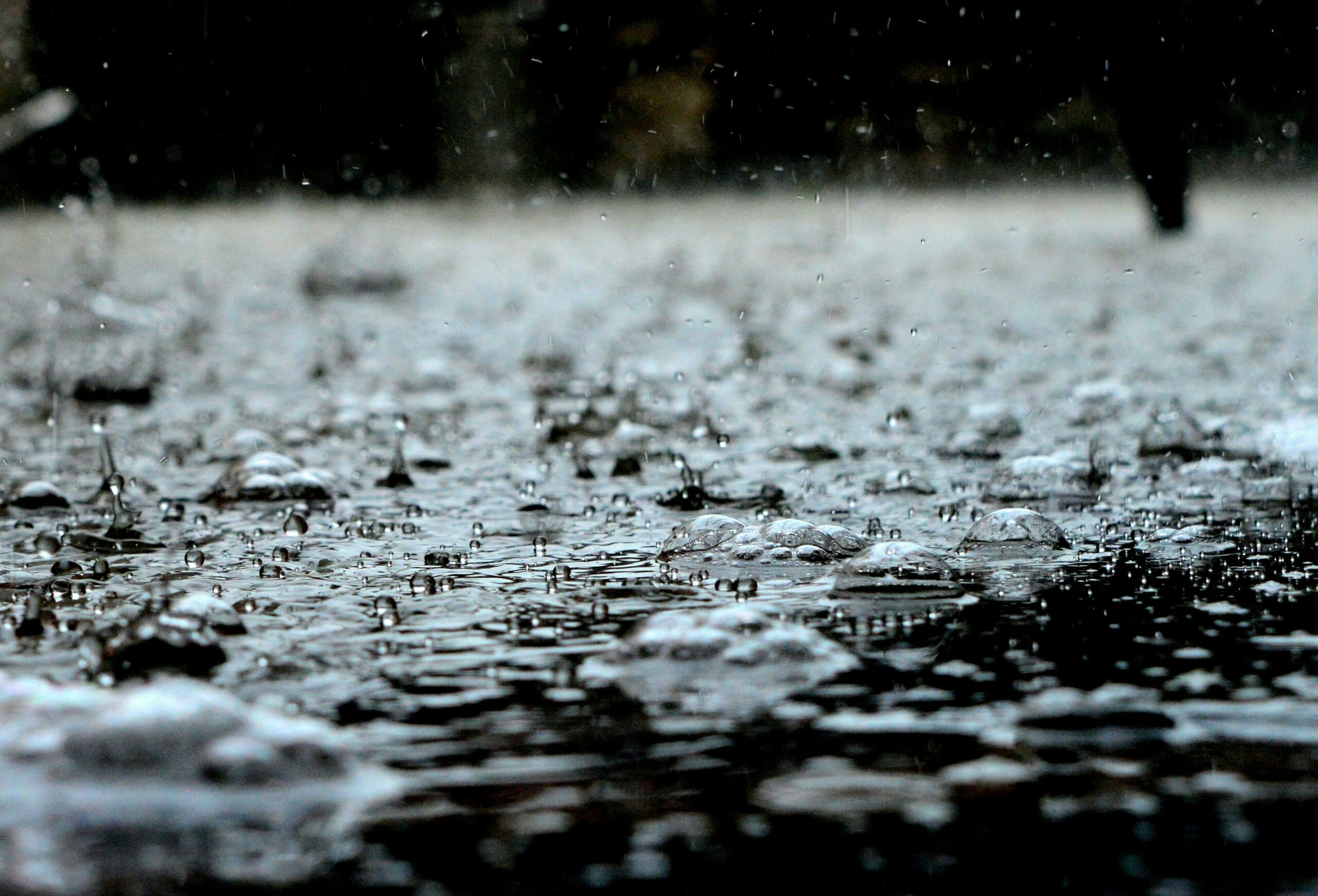
If you thought the recent deluges were intense, weather experts have a clear message: brace for more. South Africa is buckling up for a stormy summer season, driven by a weak La Niña weather pattern that promises above-normal rainfall, particularly across the central and eastern parts of the country.
The reprieve on Monday and Tuesday will be brief. According to popular forecaster Juan-Dre Vorster, known as The Weather Hooligan, the real action kicks in from Wednesday night into Thursday morning, with severe thunderstorms forecast over Gauteng and surrounding regions.
A Pattern of Persistent Rain
The South African Weather Service (SAWS) confirms the trend. Forecaster Lehlohonolo Thobela notes a 30% chance of thundershowers on Monday over a vast swathe of the country, stretching from Limpopo and Mpumalanga through Gauteng, the North West, Free State, and into the eastern half of the Eastern Cape.
“This is not a one-off,” Thobela explains. “We are in a weak La Niña season… You can expect more thundershowers and rain from the afternoon and warnings of disruptive storms in the northern parts going into December and January.”
Vox Weather meteorologist Annette Botha echoes this, stating plainly that stormy weather is forecast for the rest of the summer.
An Already Soaking Start
This season is already off to a dramatically wet start. November saw three tornadoes touch down in the Free State, in Harrismith, Heilbron, and Thaba Nchua stark reminder of the potential severity of these systems.
Botha notes that parts of Mpumalanga, Limpopo, and Gauteng have already received more than 200mm of rainfall, well above average for this period. The week begins with a Yellow Level 2 warning for severe thunderstorms in these provinces, a signal for residents to stay alert.
What This Means for You
The message from forecasters is consistent: this summer will be defined by intermittent, often severe, storm activity. The pattern suggests clear, hot days will frequently build into volatile afternoons with the risk of damaging winds, heavy downpours, hail, and localized flooding.
For residents, especially in the northern and central interior, this means staying informed through reliable weather updates, securing loose outdoor items, and being cautious on the roads during peak storm periods. The umbrella isn’t just an accessory this season; it’s essential gear. The skies may clear by the weekend, but as the experts warn, the stormy mood of summer 2025/26 is only just beginning.
Follow Joburg ETC on Facebook, Twitter , TikTok and Instagram
For more News in Johannesburg, visit joburgetc.com


