News
WMO warns likely strong El Niño could bring drought, heat and severe storms to South Africa
The WMO says a moderate to strong El Niño is likely, with 80% chance June–August and >90% of persisting to November, raising risks of drought, heatwaves and storms in South Africa.
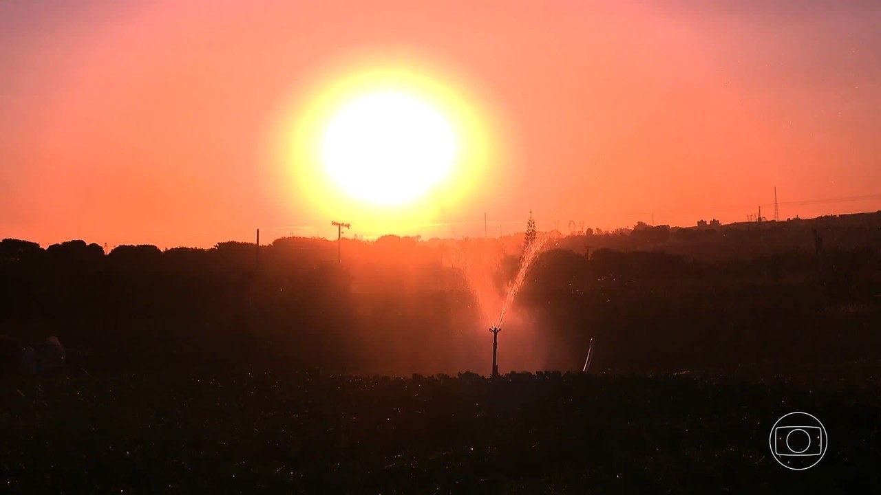
The World Meteorological Organisation (WMO) says a moderate to strong El Niño is likely this year and could raise the risk of drought, heatwaves and severe storms in South Africa. The update warns of increased extreme-weather risk as unusually warm tropical Pacific waters strengthen El Niño conditions.
WMO outlook and probabilities
The WMO’s El Niño/La Niña update indicates an 80% likelihood of an El Niño event during June–August, with the probability of it continuing until at least November described as near or above 90%. The organisation also issued a seasonal climate update projecting a nearly universal dominance of above-normal temperatures in nearly all parts of the globe from June to August.
How El Niño may affect South Africa
WMO secretary-general Celeste Saulo said South Africa will need to prepare for a potentially strong El Niño event, which will exacerbate drought and heavy rainfall and increase the risk of heatwaves, both on land and in the ocean. Saulo said El Niño is typically associated with increased rainfall in parts of southern South America, the southern US, parts of the Horn of Africa and central Asia, and drier conditions over southern Africa, Central America, northern South America, the Caribbean, Australia, Indonesia and parts of southern Asia.
Temperature rise and extreme-weather risks
The WMO update noted that rising temperatures increase risks of heat stress and compounding hazards and accelerate the development of drought where rainfall is reduced. It also said rainfall probabilities were typical of El Niño patterns and were likely to contribute to a greater probability of extremes, including both increased rainfall and flooding in some areas and drier conditions and droughts in others.
Local forecaster warns of stronger thunderstorms, hail and agricultural impacts
Local weather forecaster Juandre Vorster, also known as the Weather Hooligan, said global temperatures have risen by around 2ºC in many regions compared with the past and that warmer air can hold significantly more moisture. He said:
“That extra moisture can provide additional energy for thunderstorms, leading to stronger updrafts and more unstable atmospheric conditions. This means we could see warmer and more humid summers, along with an increase in the intensity of thunderstorms.
Higher humidity also raises the potential for more frequent lightning and stronger electrical activity, creating the conditions for severe storms.”
Vorster highlighted the possibility of larger hail as a major concern, saying:
“Powerful thunderstorms with stronger updrafts can keep hailstones suspended for longer, allowing them to grow before falling to the ground. If the right atmospheric ingredients come together, this could increase the risk of damaging hailstorms across parts of South Africa.”
He added that such heat-induced thunderstorms could affect agriculture through intense hail, torrential rainfall, strong wind gusts and frequent lightning, which have the potential to damage crops and reduce yields. He also warned that livestock could be exposed to severe weather, lightning, flash flooding and extreme heat, placing additional stress on farming operations.
Outlook and caution
Vorster said it was still too early to predict exactly how the season will unfold, but he noted that the combination of El Niño and a warming climate is worth watching closely. The WMO’s probabilities and temperature projections form the basis for calls to prepare for an elevated risk of drought, heatwaves and severe weather across South Africa.
Follow Joburg ETC on Facebook, Twitter, TikTok and Instagram
For more News in Johannesburg, visit joburgetc.com
Source: citizen.co.za