Weather
When will it warm up? Cold spell grips Gauteng after summer heatwave

Gauteng braces for cooler weather after brief heatwave
Johannesburg and Pretoria residents were enjoying scorching summer temperatures last week, with mercury soaring past 30°C in Joburg and hitting 33°C in Pretoria. Many were out in short sleeves, parks were buzzing, and ice cream vendors were thriving. But now, it’s a very different story.
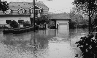
A sudden cold spell has swept across Gauteng, leaving residents digging out blankets, dusting off jackets, and sending children to school in warmer clothing. Overcast skies, gusty winds, and sporadic rain have replaced the heat, a sharp reminder that the province is no stranger to rapid weather swingseven in summer.
How cold will it get?
According to the South African Weather Service (Saws), temperatures in Johannesburg could drop to a minimum of 11°C, with daytime highs reaching only 23°C on Monday. Pretoria is slightly warmer, with a minimum of 12°C and highs of 26°C, but locals should still brace for chilly mornings and gusty afternoons.
The good news? Saws predicts temperatures will gradually rise as the week progresses, offering some relief to those missing last week’s warmth. Motorists are advised to exercise caution on wet and windy roads, as the abrupt change in conditions can catch drivers off guard.
Weather alerts: fire danger and hot conditions elsewhere
While Gauteng escapes formal weather alerts for Monday, Saws has issued a fire danger warning for the northern Namakwa District in the Northern Cape, including Matzikama, and parts of the Western Cape.
“Extremely high fire danger conditions are expected in the northern parts of Namakwa District, with very hot and uncomfortable conditions across western Northern Cape, the West Coast District, and much of the Western Cape,” Saws warned.
This serves as a reminder that while Gauteng battles a cold snap, other parts of South Africa continue to experience sweltering heat.
Cyclone Gezani under close watch
Adding complexity to the country’s weather picture, Cyclone Gezani is being closely monitored in the Mozambique Channel.
The system originated over the southwest Indian Ocean, east of Madagascar, and made landfall there on Tuesday as a tropical cyclone. It weakened as it moved inland but regained strength in the Mozambique Channel, where favorable environmental conditions allowed it to intensify first to tropical storm status and then back to a tropical cyclone.
Saws is keeping a vigilant eye on the storm, which could influence regional weather patterns and rainfall in parts of South Africa over the coming days.
The takeaway for Gauteng residents
From summer heatwaves to chilly overcast conditions, Gauteng’s weather is proving unpredictable. Residents should layer clothing, keep an umbrella handy, and drive cautiously on wet roads. While winter is still months away, this cold spell is a timely reminder of the province’s dramatic temperature swingsand the importance of staying weather-aware in South Africa’s volatile climate.
{Source: The Citizen}
Follow Joburg ETC on Facebook, Twitter , TikTok and Instagram
For more News in Johannesburg, visit joburgetc.com