Gauteng braces for stormy week as motorists warned about flooding and dangerous roads
If you are driving in Gauteng this week, patience may be just as important as petrol.
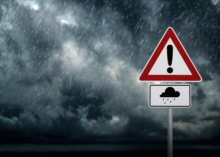
Authorities have warned that heavy rain, flash flooding and possible severe thunderstorms are expected to continue across the province, creating risky conditions for commuters, delivery drivers and anyone spending time on the roads.
After wet weather swept across parts of the country over the weekend, Gauteng now faces several more days of unstable conditions and officials are urging residents not to underestimate the danger.
Weather warnings issued for Gauteng
The South African Weather Service has updated its alerts, forecasting persistent rain, localised flooding and the chance of severe storms across Gauteng for the remainder of the week.
The Johannesburg Metropolitan Police Department (JMPD) says the city is already experiencing “intense and unstable” weather patterns.
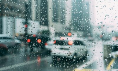
For residents, that often means a familiar autumn mix: sudden downpours, waterlogged streets, traffic chaos and lightning storms that arrive with little warning.
Why Gauteng roads become so dangerous in rain
Johannesburg and surrounding areas are especially vulnerable when storms hit.
The province’s high traffic volumes, ageing drainage systems in some areas, and fast-moving urban runoff can turn a manageable road into a hazard within minutes.
Locals know the pattern well: one burst of rain during peak hour can trigger gridlock from Sandton to Soweto.
Social media users on Tuesday shared images of slow-moving traffic, water pooling near bridges and complaints about potholes hidden beneath muddy water.
High-risk roads and flood-prone areas
Motorists have been advised to stay cautious near routes that have flooded during previous storms.
Major highways to watch
- N1 near Maraisburg
- M1 North Double Decker near the CBD
- N3 near Linksfield Road
Midrand and northern routes
- Allandale Road
- Olifantsfontein Road
- Pretoria Main Road
- Leeuwkop Road
- Witkoppen Road in Paulshof
Sandton and Bryanston
- Belgrave Bridge
- Roads near the Jukskei River
Soweto hotspots
- Klipspruit Valley Road in Orlando West
- Moroka Nancefield Road in Mofolo South
- Mzilikazi Street in Mofolo Central
Other areas flagged
- Abu Baker Asvat Drive in Lenasia
- Roosevelt Road and areas near the Jukskei River in Alexandra
For regular commuters, many of these routes are daily lifelines. When they flood, the knock-on effect spreads quickly across the metro.
Safety tips every driver should follow
Officials are urging drivers to take simple but important precautions:
Slow down
Wet roads dramatically increase braking distance, especially when tyres are worn.
Keep headlights on
Even during the day, rain can reduce visibility.
Leave more space
Tailgating in bad weather is one of the fastest ways to cause a collision.
Never cross flowing water
What looks shallow can carry enough force to move a car or hide damage beneath the surface.
Tshwane also on alert
The warning is not limited to Johannesburg.
Tshwane Emergency Services have also urged residents to stay cautious after a Level 4 weather warning was issued.
That means Pretoria and surrounding areas could also face heavy rain, strong storms and local flooding.
The bigger picture for Gauteng
Storm warnings have become increasingly common in Gauteng, and many residents say extreme weather now feels less like an exception and more like part of the seasonal routine.
Whether it is blocked drains, flooded underpasses or traffic lights knocked out by storms, weather events now regularly expose infrastructure pressure in the province.
What motorists should expect this week
Expect delays, slower traffic and sudden route changes.
If your trip is not urgent, leaving later or working around storm peaks could save hours of frustration.
For Gauteng drivers, the message is clear: this week’s biggest traffic jam may come from the sky.