News
Super El Niño South Africa: What the rare 2026 event could mean
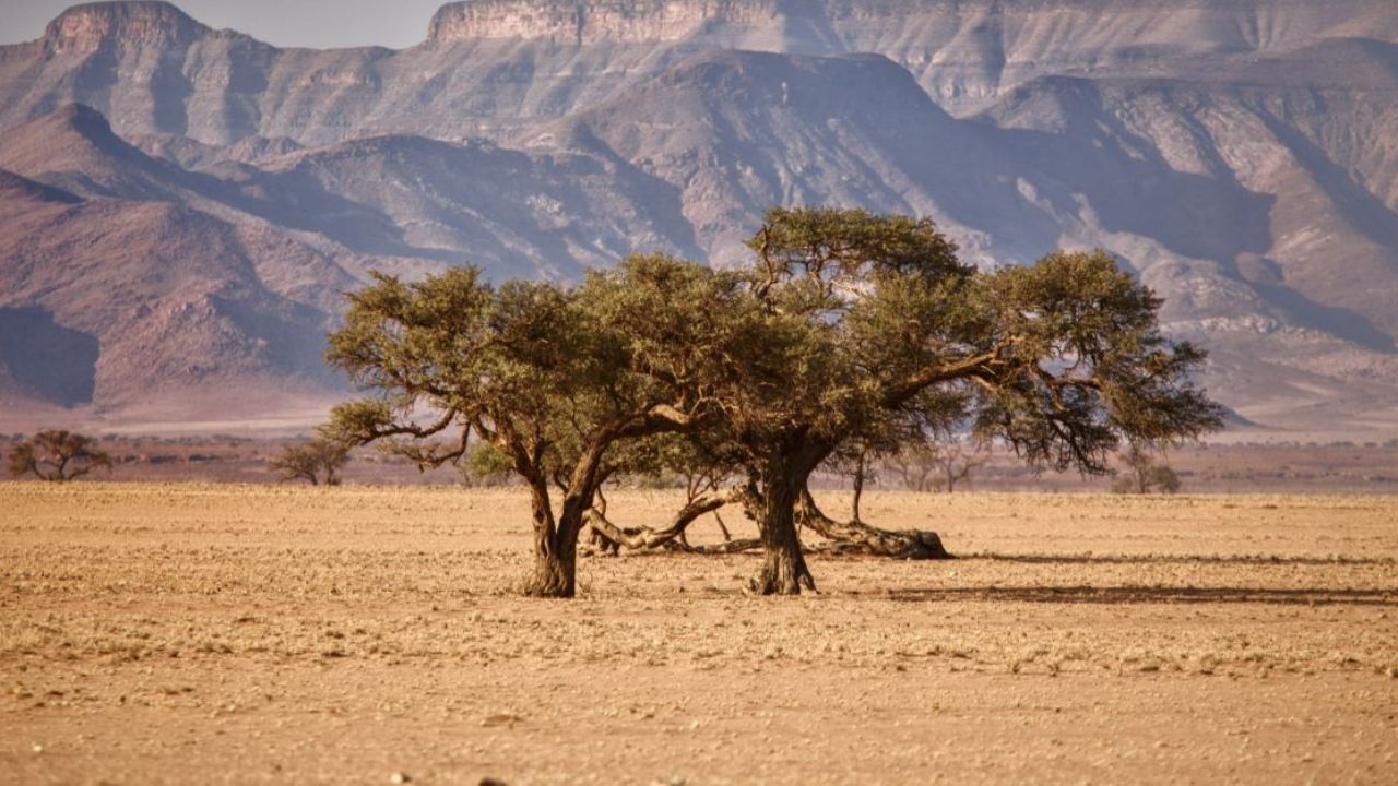
South Africa could be heading towards an unusually hot and dry summer as a powerful El Niño continues to strengthen over the Pacific Ocean.
The developing weather pattern is attracting attention because it could become one of the strongest El Niño events seen in decades.
As reported by The South African, forecasters are watching the possibility of the event reaching the level informally known as a ‘Super El Niño‘ – something that has only happened three times since 1950.
That does not mean South Africa is guaranteed another drought or a repeat of previous extreme weather seasons. But it does give the months ahead plenty to watch.
A rare El Niño is taking shape
El Niño is a natural climate pattern linked to unusually warm ocean temperatures in the Pacific. While the phenomenon develops far from South Africa, it can influence weather patterns across the southern African region.
The current event has already been described as firmly established by the ENSO Reference Group.
According to The South African’s report, a ‘Super El Niño‘ is an informal description for an exceptionally strong event, where central Pacific sea-surface temperatures rise more than 2°C above normal.
The three previous events that reached this level occurred in 1982/83, 1997/98 and 2015/16.
Now, 2026 could potentially add another year to that list.
The forecast is becoming more serious
The latest outlook from the US National Oceanic and Atmospheric Administration (NOAA) says El Niño is strengthening, with a greater than 90% chance of a very strong event during the Northern Hemisphere autumn and winter of 2026/27. NOAA also gives a 69% chance of an event during October to December that could exceed the strength of previous El Niños recorded since 1950.
That is an important distinction.
It does not mean that South Africa will automatically experience its worst possible summer. Weather patterns are complicated, and scientists have repeatedly stressed that individual El Niño events can behave differently.
Still, the possibility of an exceptionally strong event is enough to put the coming summer firmly on the radar.
What could change for South Africa?
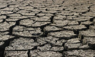
For South Africans, one of the biggest concerns is the combination of higher temperatures and reduced rainfall.
The outlook cited by The South African points to above-normal temperatures between August and December, while the country’s summer rainfall region faces an increasing likelihood of below-normal rainfall between September and November.
The drier pattern is expected to become more dominant between October and December.
That could have consequences beyond simply reaching for the fan or looking for a cooler spot.
Less rainfall can put pressure on water supplies, agriculture and livelihoods, particularly if dry conditions continue for an extended period.
South Africa has experienced the effects of major El Niño events before, so the concern is not coming out of nowhere.
The 2015/16 El Niño remains a warning
The previous major event in 2015/16 is particularly relevant.
According to The South African, that El Niño contributed to more than 36 million people across East and Southern Africa being pushed into hunger, with food security, water access and livelihoods among the areas affected.
That history explains why another potentially powerful El Niño is being watched so closely.
However, there is also some reason for South Africa not to immediately assume the worst.
South Africa has some breathing room
The country is entering this period in a stronger position than it has during some previous drought situations.
The ENSO Reference Group has pointed to healthy dam levels and soil moisture following the previous rainy season.
That could provide some protection if rainfall does fall below normal during the coming months.
It also means that the story is not simply about another drought arriving.
Instead, South Africans are heading into a period where the strength of the El Niño, rainfall levels and temperatures will all need to be watched together.
So what happens next?
For now, the focus is on how much stronger the El Niño becomes as the year progresses.
If it does reach exceptional strength, 2026 could join a very short list of years in which such an event has occurred since 1950.
But even with the increasingly concerning forecasts, it is too early to say that South Africa is heading for a repeat of 2015/16.
What we do know is that warmer-than-normal conditions are expected through the latter part of the year, while parts of the summer rainfall region face an increased risk of below-normal rainfall.
For a country where water, agriculture and summer rainfall are so closely connected, that is a forecast worth keeping an eye on.
Follow Joburg ETC on Facebook, Twitter, TikTok and Instagram
For more News in Johannesburg, visit joburgetc.com
Source: The South African