News
South Africa braces for a brutal winter blast: snow, rain, wind and freezing conditions
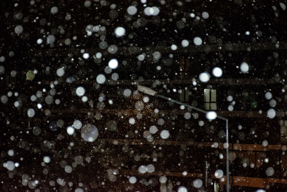
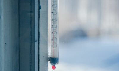
South Africa is facing a severe winter blast on Thursday, 2 July 2026, with widespread cold, rain, strong winds and snow expected in parts of the country, the South African Weather Service (SAWS) reports.
Overview: cold, wet and windy across provinces
SAWS forecasts a mix of snow, showers, rain and gale‑force winds across the nine provinces. Conditions will be very cold in several interior regions and coastal areas will experience strong south‑westerly winds in places.
Province-by-province highlights
Gauteng
Temperatures will be cold in the south and otherwise partly cloudy and cool, with light isolated showers and rain in the extreme south. The expected UVB Sunburn Index is High.
Mpumalanga
Mpumalanga will be cloudy with a chance of light rain and showers in the extreme south‑west, partly cloudy and cool elsewhere, and cold in the extreme Highveld. The Lowveld will be fine and warm.
Limpopo
Conditions are expected to be fine and cool to warm.
North West
North West will be partly cloudy, windy and cold, cool in the extreme east, with isolated morning showers and rain over the southern parts.
Free State
The Free State will be cloudy in the west, otherwise partly cloudy, windy and cold to very cold, with isolated showers and rain in the morning and scattered rain in the south before conditions become fine in the afternoon.
Northern Cape
Expect cloudy conditions with morning fog in the west, otherwise partly cloudy, windy and cold to very cold, with isolated morning showers and rain in the extreme east. Coastal wind will be light to moderate northerly to north‑westerly, becoming south‑easterly from the evening.
Western Cape
The Western Cape will be cloudy and cold with isolated showers and rain except in the north‑west, with partial clearance expected from the afternoon in the north and north‑eastern parts. Coastal winds will be moderate to fresh westerly to north‑westerly, becoming strong to gale south‑westerly along the south coast in the morning. The expected UVB Sunburn Index is Very High.
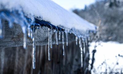
Eastern Cape
The Western half of the Eastern Cape will see light snow over the northern high ground, and be cloudy, windy and very cold with scattered showers and thundershowers, widespread in the east. Winds along the coast will be fresh to strong south‑westerly, reaching gale force in places from the afternoon.
The Eastern half will be very cold with snow over the northern high ground, otherwise cloudy, windy and cold to cool with scattered showers and thundershowers, becoming fine in the evening. Coastal winds will be similar to the western half.
KwaZulu‑Natal
KwaZulu‑Natal will be partly cloudy and cool with isolated showers and thundershowers, except in the north‑east where it will be warm. Coastal winds will be moderate to fresh north‑easterly north of Durban, and moderate to fresh south‑westerly in the south and strong at times, spreading northwards. The expected UVB Sunburn Index is Moderate.
Impact-based warnings and advisories
- Yellow Level 1: Severe thunderstorms with heavy downpours, localised flooding, hail and damaging winds over central and eastern parts of the Eastern Cape (excluding the extreme north‑east).
- Yellow Level 2: Disruptive snow expected to cause localised traffic disruption over the north‑eastern parts of the Eastern Cape near the Lesotho border.
- Yellow Level 2: Disruptive winds and waves between Cape Agulhas and Port Edward into Friday, with risks including damage to informal structures, difficult driving for high‑sided vehicles, navigation difficulty for small vessels and disruption to ports, harbours and beach activities.
SAWS also issued an advisory that very cold, wet and windy conditions are expected tomorrow over the Free State, southern parts of North West and most parts of the Northern Cape, as well as in places over the Eastern Cape interior.
What to expect and next steps
Residents in affected areas should prepare for cold temperatures, heavy rain, strong winds and possible snow and should follow local SAWS warnings and updates for changing conditions and potential disruptions.
Follow Joburg ETC on Facebook, Twitter, TikTok and Instagram
For more News in Johannesburg, visit joburgetc.com
Source: thesouthafrican.com