
News
Severe Thunderstorms and Hail Forecast as South Africa Faces Soaring Temperatures
Severe thunderstorms, heavy rain, and hail are predicted for parts of South Africa this Friday, alongside soaring temperatures and fire danger warnings.
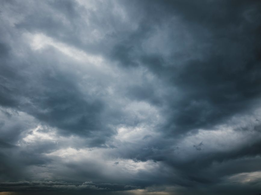
Widespread Severe Thunderstorm Warnings Across Several Provinces
Weather alerts have been issued for much of South Africa as severe thunderstorms, heavy downpours, and hail are expected to strike on Friday. The South African Weather Service has flagged a significant risk, with up to a 60% chance of rain affecting multiple provinces while persistently high temperatures continue.
Gauteng, Mpumalanga, and KwaZulu-Natal face the most critical threat, where a yellow level 4 warning is in effect. This includes not only heavy rainfall, but also hail and intense lightning, all of which could lead to flooding, infrastructure damage, and potential electricity outages.
In addition, a yellow level 2 warning covers the eastern Free State, North West, central KwaZulu-Natal, parts of the Mpumalanga Highveld, and the western Bushveld of Limpopo. Residents in these areas are cautioned about strong winds, hail, and the possibility of flooding, particularly on roads, low-lying settlements, and bridges.
The high-alert period is set from 1pm to just before midnight on Friday, as severe weather conditions are expected to develop and persist.
Regional Forecasts and Expected Impacts
Gauteng
The forecast for Gauteng signals partly cloudy and hot to very hot weather, along with a 60% chance of showers and thundershowers. Major urban centers like Johannesburg and Pretoria are included in the areas likely to be affected.
Mpumalanga
Mobile thunderstorms and rain are expected in the south-western Highveld (60% chance), while the broader region sees a 30% chance. Isolated to scattered showers may occur, but the Lowveld and northern escarpment are predicted to remain mostly dry.
Limpopo
Limpopo will experience partly cloudy and hot conditions, with a 60% chance of rain expected in extreme south-western sections. The rest of the province is likely to stay dry, with only isolated showers and thundershowers possible in the south-west.
KwaZulu-Natal
Heavy rainfall and thundershowers are likely in large parts of KwaZulu-Natal. Cloud cover is expected along the coast and nearby interior areas during the afternoon, and the weather service has noted that hot, humid conditions in the northeast could be extremely uncomfortable. While most of the province faces a 60% likelihood of thunderstorms, southern regions have a lower 30% chance.
North West Province and Free State
These regions should be prepared for afternoon storms. North West will see partly cloudy, windy, and hot conditions, with a 60% chance of rain in the eastern areas, and 30% chance centrally. Isolated thundershowers across the province may become scattered to the east. The Free State expects similar partly cloudy, windy, and warm to hot weather, with afternoon thundershowers especially in the east.
Western Cape and Eastern Cape
The Western Cape’s western areas will be cloudy and cool, with a 60% chance of rain for Cape Town and the south-western coastline. Along the west coast and southern coastline, a 30% chance of rain exists, while other areas remain partly cloudy and warm. In the Eastern Cape, most areas will be partly cloudy and warm, with the coast remaining cool. The province’s west might see light rain in the evening, while the Wild Coast and adjacent areas face a higher probability of scattered showers, especially as conditions become cloudy south of the escarpment in the afternoon.
Risks and Cautions: Floods, Infrastructure, and Fire Danger
Severe weather can have major consequences. Flooding of roads, low-lying settlements, and bridges is possible during periods of heavy downpours. There are also risks to homes, vehicles, and public infrastructure from hail, lightning, and strong winds. Residents are advised to be particularly cautious around flood-prone areas, and should avoid driving or walking through flooded roads and low-water crossings.
Despite the widespread rain forecast for some regions, other parts of the countrysuch as the Northern Cape, Free State, North West, northern Gauteng, much of Limpopo, and areas in Mpumalangaface extremely high fire danger conditions. The Northern Cape will mostly be warm to hot and windy, with only the far south-west seeing possible morning rain.
Guidance from the Weather Service
The South African Weather Service’s warnings highlight the complexity of the forecast: while many parts of the country can expect heavy rain and thunderstorms, dry and windy conditions elsewhere could rapidly increase fire risks.
Residents are urged to exercise caution, particularly in flood-prone areas, and avoid crossing flooded roads and low-water bridges.
As the warnings remain active through Friday evening, staying informed and prepared will be especially important for those in vulnerable areas and communities.
Thunderstorm warnings in South Africa highlight potential for flooding and hail damage.
What This Means for Residents
- Monitor official weather updates throughout the day for changes in warnings or conditions.
- Prepare for possible power and communication disruptions in case of severe storms.
- Avoid unnecessary travel during storm periods, especially in regions with active warnings.
- Secure vehicles and property to minimize potential hail and wind damage.
- Stay clear of low-water bridges and flooded areas, as even shallow water can be dangerous.
With a dynamic and potentially hazardous weather pattern emerging, preparedness, vigilance, and caution are the best strategies for personal safety and the protection of property.
Follow Joburg ETC on Facebook, Twitter, TikTok and Instagram
For more News in Johannesburg, visit joburgetc.com
Source: iol.co.za