
News
Cut-off low could bring biggest snow event of winter over Women’s Day long weekend
A powerful cut-off low is expected between 9–11 Aug and could bring widespread rain, cold winds and snow to at least five provinces during the Women’s Day long weekend.
Who, what and when
The system is expected to form on Sunday and dissipate by Tuesday, with South Africa’s public holiday observed on Monday 10 August 2026 falling in the middle of the event. Models suggest the cut-off low will affect weather across almost all nine provinces, bringing widespread rain, sharp temperature drops and strong winds.
Snow and where it’s most likely
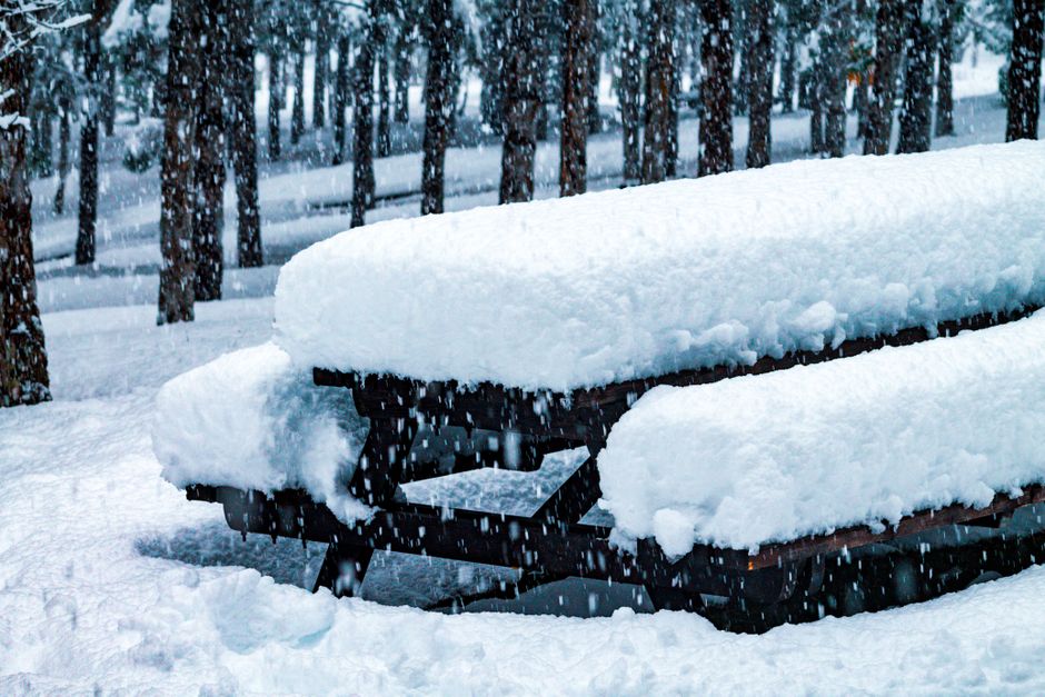
Forecasters describe this as a potential “biggest snow event of the 2026 winter”. Snow accumulation is considered most likely over the Maloti-Drakensberg mountains and the Lesotho border. High-lying interior regions in Gauteng and parts of the Eastern Cape are regarded as an outside chance for snow, according to the South African Weather Service.
Provincial outlook
- Gauteng: Daytime highs are expected to fall into the high teens, with brisk south-westerly winds ahead of the system and isolated showers. There is an outside chance of sleet and snow over high ground.
- KwaZulu‑Natal: An uncharacteristic cold snap is expected over the interior and Midlands, with widespread rain and likely snow over the high-lying Drakensberg and Lesotho border. Coastal winds may be fresh to gale-force ahead of the front.
- Western Cape: Temperatures will dip after a mild start to August. Rain is likely province-wide, heaviest in the south-west, with a dusting of snow possible over the Cederberg and Hex River peaks. Strong winds and coastal wave warnings are possible.
- Eastern Cape: Cold conditions are expected, particularly inland and over the escarpment bordering Lesotho. Rain is likely across the province, with the best chance of disruptive snow near Barkly East, Lady Grey and Matatiele.
- Limpopo: Generally milder than southern provinces, mostly dry with only a slim chance of showers reaching the far south.
- Mpumalanga: Frosty mornings are possible over the Highveld and escarpment, with rain possible over the escarpment and an outside chance of snow on the highest ground near the Free State and KwaZulu‑Natal borders.
- North West: A sharp overnight temperature drop with likely frost in the south and mostly dry conditions, though southern districts may see a small chance of showers.
- Free State: Bitterly cold with widespread frost. Rain in the west may turn to snow over the eastern Free State near Lesotho, including areas like QwaQwa.
- Northern Cape: Cold conditions, isolated showers possible in the west and a chance of snow over higher ground in and around Sutherland.
Impacts and advice
The forecast notes that cut-off lows are notoriously changeable, so the exact distribution and intensity of snowfall may shift as the weekend approaches. Mountain passes, including Sani Pass, were specifically highlighted as carrying a high risk of closure in KwaZulu‑Natal. The Eastern Cape was described as historically prone to snow-related road closures, and motorists were advised to check routes before travelling.
Forecast cautions
Forecasters emphasised that the outlook remains fluid and recommended checking updated warnings and forecasts closer to the Women’s Day long weekend as the cut-off low takes shape.
Follow Joburg ETC on Facebook, Twitter, TikTok and Instagram
For more News in Johannesburg, visit joburgetc.com
Source: thesouthafrican.com