
News
Don’t rule out snow in Gauteng as strong cold front approaches
A strong cold front and possible cut-off low could bring widespread rain, strong winds and even snow to higher-lying areas and possibly Gauteng next week.
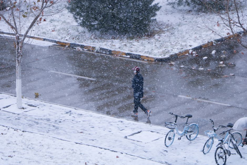
A strong cold front and a possible cut-off low could bring widespread rain, strong winds and much colder conditions to South Africa next week, and forecasters say snow remains a possibility including in Gauteng.
What forecasters are watching
Weather Hooligan forecaster Juandre Vorster said the chances of snow in the interior were subsiding but warned people should not rule out snow yet.
“At this stage, I still believe snow is on the cards this coming long weekend, especially over the higher-lying areas, with the mountain regions the best bet. Whether the snow spreads further into the interior will depend on how the cut-off low develops in a day or two,”
Vorster said the next cold front, expected between 8 and 10 August, could still bring snow, including to Gauteng. He added that frost and extreme cold temperatures are expected and may reach Joburg on 12 or 13 August. He also warned:
“All farmers should be ready for temperatures to drop below zero as well in the interior, and farmers in the northern parts of South Africa, which could experience 1ºC to 2ºC,”
Model uncertainty and the European forecast
Vox Weather meteorologist Annette Botha said forecast models indicate a potentially significant cold system from Sunday onwards.
“A strong cold front may bring widespread rain, strong winds and much colder conditions, followed by a possible cut-off low. Some model guidance suggests freezing levels could drop low enough for snow in parts of all nine provinces,”
she said.
Botha noted model differences on the likelihood of snow over Gauteng:
“Only the European Centre for Medium-Range Weather Forecasts model is showing possible snow over Gauteng, while the other major models are not,”
she said. She added that
“Cut-off lows and snow are difficult to predict this far ahead, as even a small change in the system’s path, strength, temperature or moisture could completely change the expected snowfall areas.”
El Niño and recent winter conditions
Botha said the Western Cape experienced a relatively warm, dry winter because fewer cold fronts reached the province. She said this pattern
“does not necessarily mean El Niño is already the cause. El Niño’s influence is usually much more apparent during spring and summer… Therefore, we cannot regard this winter as proof of a developing El Niño,”
according to the source.
What to expect
- Strong cold front expected between 8 and 10 August.
- Possible cut-off low that could influence whether snow spreads into the interior.
- Frost and extreme cold that may reach Joburg on 12 or 13 August.
Forecasters emphasise uncertainty in snowfall forecasts and say small changes in the system could alter which areas receive snow.
Follow Joburg ETC on Facebook, Twitter, TikTok and Instagram
For more News in Johannesburg, visit joburgetc.com
Source: citizen.co.za