News
Spring Storms Forecast for Gauteng North West and Free State
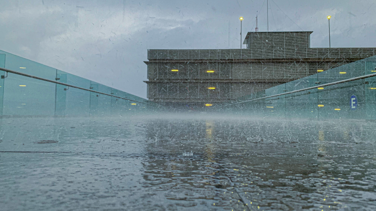
The South African Weather Service (SAWS) has forecasted the occurrence of spring thunderstorms in several regions, including Gauteng, the North West, the Free State, and the eastern Highveld.
Also Read: Megan Receives Special Award at MDSA Pageant
SAWS has indicated that a weak cold front is expected to approach the southwestern Cape on Tuesday, accompanied by showers and rainfall as reported by IOL. As the day progresses, the atmospheric conditions are set to become conducive for isolated thunderstorms, primarily in central parts of the country. These storms are anticipated to spread eastward, reaching Gauteng and the eastern Highveld in the evening.
A Yellow Level 1 warning for waves has also been issued for the area between Cape Point and Struisbaai. This warning is significant as it may pose challenges for navigation at sea.
SAWS further explained that a storm surge was responsible for the unusual waves that impacted over 50% of the country’s coastline during the weekend. This surge resulted in various consequences, including damage to buildings, vehicles being swept away, beach erosion, multiple injuries, and two fatalities. The confluence of gale-force winds, high swells, and a higher-than-normal spring tide co-occurring contributed to a substantial increase in water levels along the coast. The highest observed wave heights were recorded along the south coast.
On the east coast, wave heights ranged from 5.0 to 7.0 meters, with offshore winds exceeding 10 km/h reported along the Eastern Cape coast. This weather phenomenon highlights the need for vigilance and caution when dealing with coastal conditions, especially during springtime.
Also Read:
Pretoria North’s Health and Social Outreach Event Hosted by Metro
Follow us on Google News